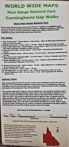
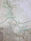
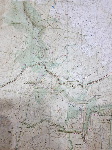
Cunninghams Gap Bush Walks - Main Range - 18k topo map
1:18,000 scale topographic map of Cunninghams Gap and Main Range bush walking tracks
Box Forest track
Rainforest circuit
Gap Creek Falls track
Palm Grove circuit
Mount Cordeaux track
Bare Rock track/ Morgans Walk
Mount Mitchell track
Pioneer Graves track
Moss’s Well track
Heritage trail
Mount Mathieson trail
The map comes as compact shirt pocket sized (A3) double sided and folded topographic maps of the Cunninghams Gap – Main Range National Park area. The maps display the best available contours, tracks and the latest topographic information.
The reverse side is a general location topo/road map and the map includes general instructions on how to get to the area.
The map data is sourced from the latest Queensland Government topographic datasets through QTopo and the Government’s Open Data Strategy.
PRICE INCLUDES POSTAGE AND HANDLING
This item is out of stock
We hope to have more stock in very soon. If you have any questions about this product, please contact us.

Connect with us...