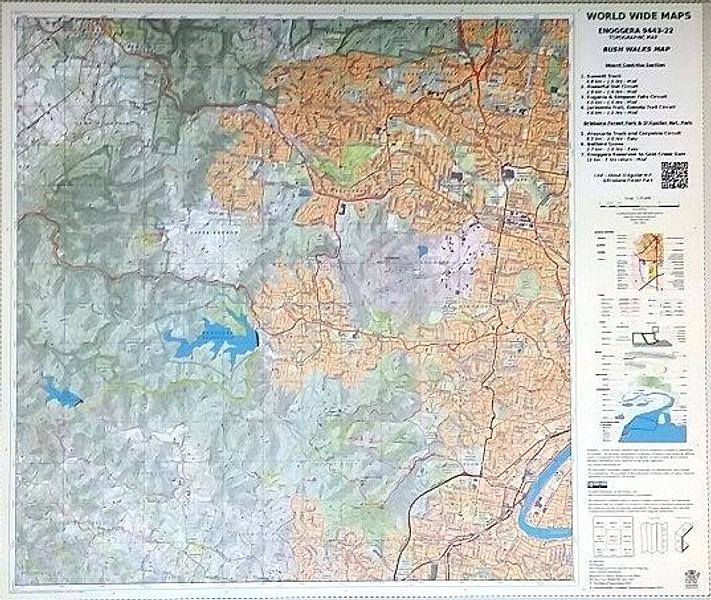
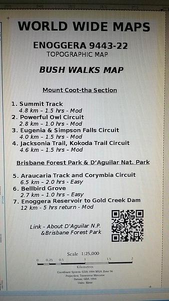
Enoggera 25k Topo - Bush Walks Map
This up to date (2014) “print on demand” 1:25,000 scale topo map Enoggera 9443 – 22, replaces the old published map (1980).
The standard topo map has been enhanced by World Wide Maps with 7 bush walks highlighted.
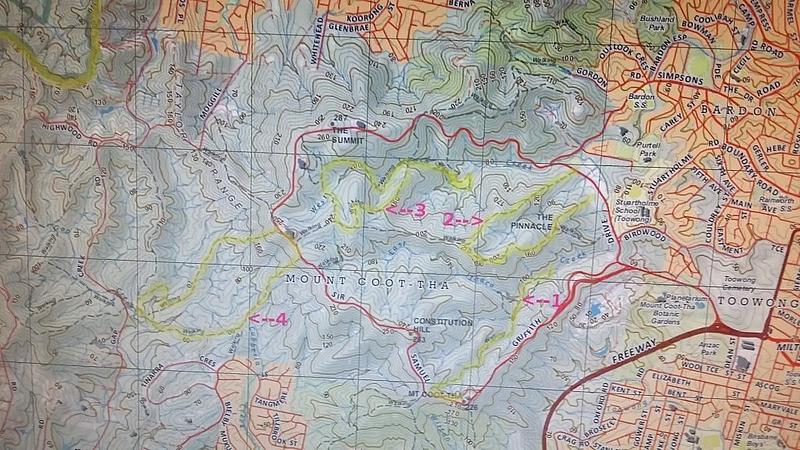
Mount Coot-tha Section – Summit Track, Powerful Owl Circuit, Eugenia & Simpson Falls Circuit, Jacksonia Trail & Kododa Trail Circuit.
Brisbane Forest Park & D’Aguilar National Park – Araucaria Track and Corymbia Circuit, Bellbird Grove, Enoggera Reservoir to Gold Creek Dam.
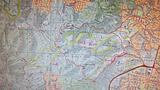
The map covers part of South D’aguilar National Park, Brisbane Forest Park and Mount Coot-tha Section.
PRICE INCLUDES POSTAGE AND HANDLING


Connect with us...