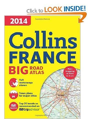
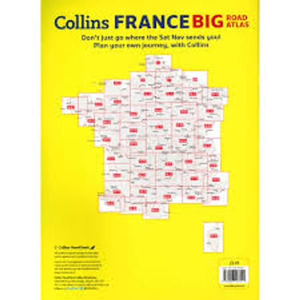
France - Collins Big Road Atlas
Fully revised, large format A3 (297mm X 420mm) road atlas of France containing detailed road mapping, town plans and a comprehensive place name index. Nice big page maps but easy to fit in suitcase. Nice and flat.
Scale 1:300,000 (1 cm to 3 km).
MAIN FEATURES
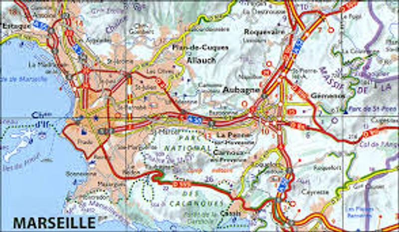
Clear, easy to follow road maps of France produced from the up-to-date digital database at a scale of 1:300 000 (1 cm to 3 km). Euroroutes and motorways easily distinguished. International road classification, road distances in kilometres and relief shown by attractive hill shading.
INCLUDES
• Details on driving regulations for all European countries
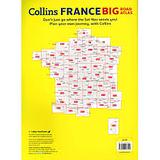
• Route planning maps
• Distance map and chart
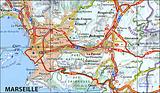
• 8 through route maps of the following cities: Bordeaux, Lille, Lyon, Paris, Marseille, Nice, Strasbourg and Toulouse.
• Top 25 TripAdvisor Travellers’ Choice hotels, with images and contact details for the best reviewed hotels in France, locations including Paris, Burgundy, French Riviera, Corsica and Loire Valley.
AREA OF COVERAGE
The mapping covers the whole of France, including Corsica and also includes Luxembourg.
PRICE INCLUDES POSTAGE AND HANDLING
This item is out of stock
We hope to have more stock in very soon. If you have any questions about this product, please contact us.

Connect with us...