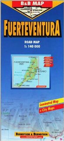
Fuerteventura - Canary Islands
Laminated Road Map of Fuerteventura. Fuerteventura is the second-largest island of the Canary Islands and is originating from a volcanic eruption from the Canary hotspot. It has 50kms of fine white sand beaches and 25kms of black volcanic shingle. The highest elevation is Mount Jandía, 807m in the SW. The N-ern area is called ’Maxorata’ and is crossed by a mountain range from N to S up to 700m high and the SW-ern area of Jandía Peninsula is connected by the ’Istmo de la Pared’. In the NE the fine sand dunes of ’El Jable’ are National Nature Reserve. The capital of the island is Puerto del Rosario on the E-coast. The important resorts are Corralejo in the N and Morro Jable in the S.
Price includes postage and handling.

Connect with us...