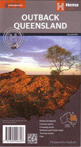
Outback Queensland - folded map
This detailed regional map of outback Queensland contains a Gulf region (1:2,500,000) inset map. On the opposite side is in-depth travel and background information on relevant regions, including Channel Country, Matilda Country and Dinosaur Fossil Country. Also included is relevant contact information, outback events throughout the year and a list of national parks.
Camping areas
National parks
Points of interest
Touring routes
Outback fuel
GPS grid
This map covers the borders of New South Wales and the Northern Territory all the way across to the Queensland Coast and up as far as Bowen.
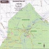
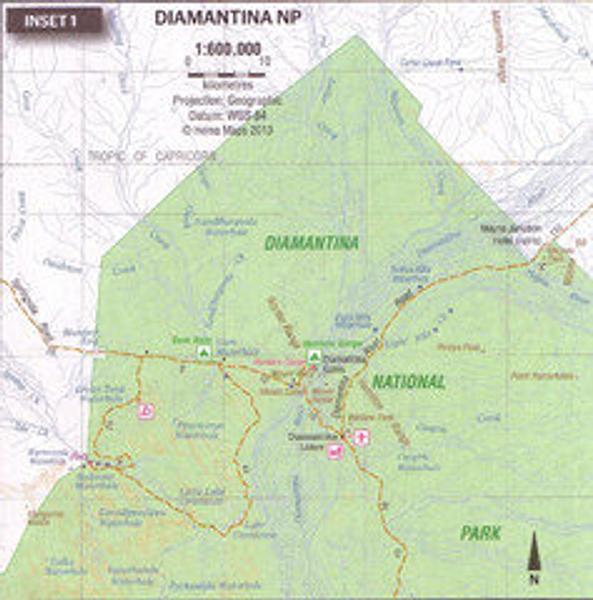
The reverse includes blow up regional maps of Diamantina NP,Bladensburg NP, Idalia NP, Currawinya NP, and Carnarvon Gorge.
Scale: 1:150,000
PRICE INCLUDES POSTAGE AND HANDLING
This item is out of stock
We hope to have more stock in very soon. If you have any questions about this product, please contact us.

Connect with us...