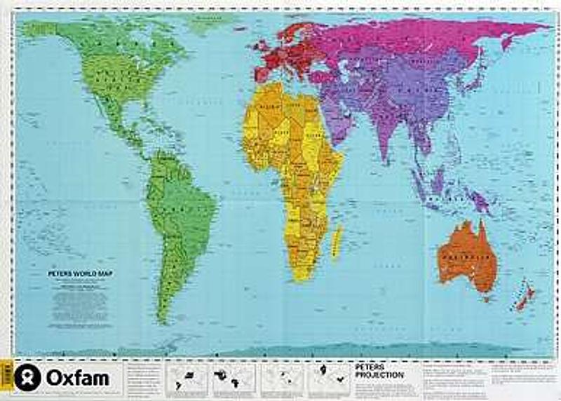
Peters Project World Wall Map - Laminated
Laminated map measuring 600mm x 850mm.
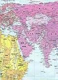
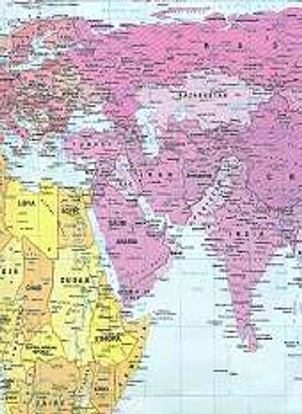
The Peters Projection world map shows all the countries in proportion to their relative sizes using five pastel colours. Traditional flat maps of the world have tended not to show countries in proportion to one another. This map therefore provides a helpful corrective to the distortions of traditional world maps. It is felt that tradtional world maps have been drawn to the advantage of the traditional European powers, while continents such as Africa, South America and Australia are shown far too small.
This Peters projection map shows all countries, continents and oceans according to their actual size and therefore accurate comparisons can then be made between them.
On a map drawn using the Peters projection, all axis lines from north-south or east-west run vertically and horizontally respectively. But of course, if you were to look at a world globe, everything would again be in proportion, but you cannot then look at the world on a flat sheet.
This Peters map was produced by the German historian Arno Peters in 1974.
PRICE INCLUDES POSTAGE AND HANDLING
This item is out of stock
We hope to have more stock in very soon. If you have any questions about this product, please contact us.


Connect with us...