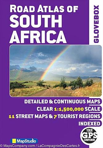
South Africa Road Atlas - Glovebox size
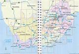
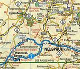
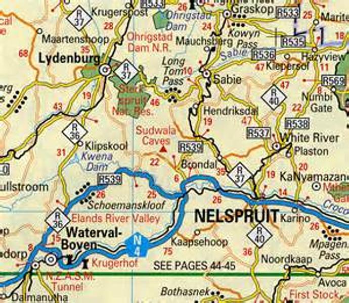
Detailed maps of South Africa at 1:1 500 000 – detailed & continuous map section; 7 major tourist areas – Cape peninsula; South Western Cape & Overberg; Garden Route; Gauteng; Kruger National Park; Drakensberg; Kwazulu-Natal Coast; 11 street maps – Pietermaritzburg; Durban; Nelspruit; Polokwane; Pretoria; Johannesburg; Bloemfontein; Kimberley; East London; Port Elizabeth; Cape Town. Includes: freeways; National roads; Route numbers; Nature reserves & parks; Places of interest; Tourist information; Index to place names; Co-ordinates.
PRICE INCLUDES POSTAGE AND HANDLING

Connect with us...