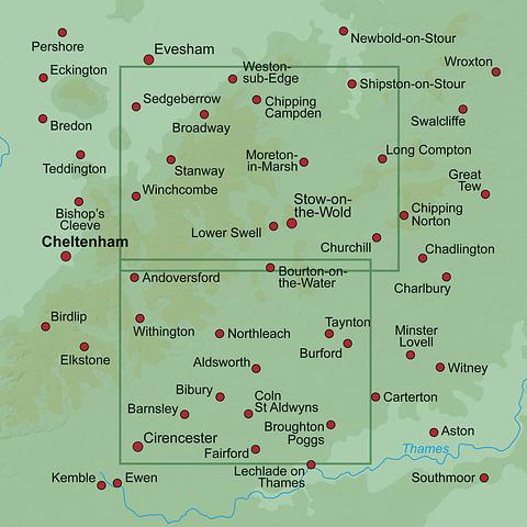
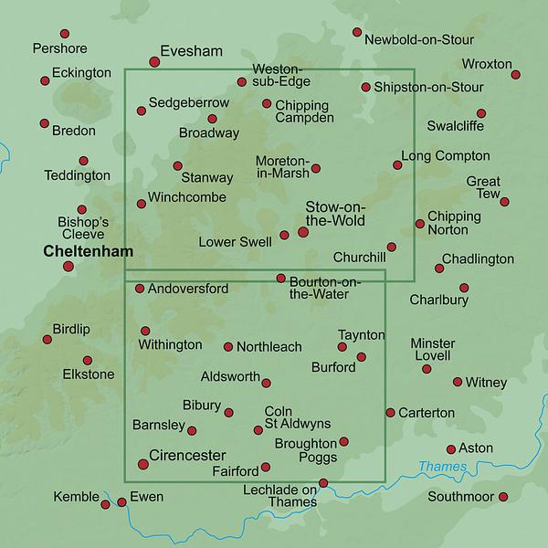
The Cotswolds - Walkers Map by AA
Aimed at outdoor enthusiasts in particular, the AA Cotswolds Walker’s Map is ideal for use when planning walks, hikes and excursions in the area. Utilising 1:25,000 data supplied by the Ordnance Survey, this sheet map provides optimised coverage for the Cotswolds for accuracy when planning outdoor leisure pursuits.
Trusted and reliable Ordnance Survey data with a familiar look and style
1:25,000 scale of 2.5 inches to 1 mile
Land and water features clearly identified
Contours at 5 and 10 metre intervals shown
Tourist and leisure information marked
Public rights of way

Connect with us...