United Arab Emirates Map - UAE folded map
United Arab Emirates at 1:470,000 on a double-sided, waterproof and tear-resistant road map with topographic and tourist information, plus a plan of Dubai City with an enlargement of its central area and a plan central Abu Dhabi City. The map is part of Reise Know-How’s highly acclaimed World Mapping Project.
The main map at 1:470,000 covers most of the UAE on one side, with the western part of Abu Dhabi shown on the reverse at the same scale. Topography is indicated by altitude colouring with numerous spot heights, wadis, salt pans, seasonal rivers, wells and oasis. Road network includes local roads tracks and gives driving distances on main routes. Local airports and harbours are marked. Symbols highlight various places of interest. The map also indicates locations of oil fields and oil wells, both inland and off-shore in The Gulf. Place names are in the Latin alphabet, with names of larger locations are also in Arabic. The map has a latitude and longitude grid at intervals of 1° and is indexed.
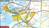
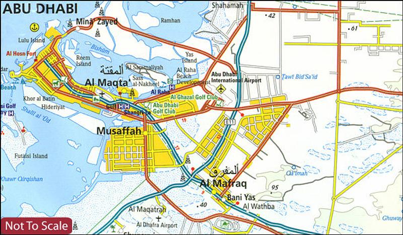
Approximately half of the reverse side is taken by an indexed plan of Dubai City at 1:80,000 indicating main traffic routes and naming districts and zones, as well as various attractions, hotels, etc. The city centre is also shown in great detail, enlarged to 1:15,000. The map also includes a plan of Abu Dhabi City at 1:50,000, annotated with places of interest, accommodation, etc., plus a map of the UAE with colouring showing the division into different emirates.
PRICE INCLUDES POSTAGE AND HANDLING


Connect with us...