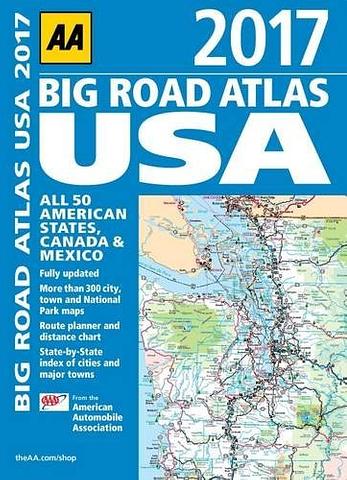
USA Canada Mexico Road Atlas by AA
Fully updated for 2017, this atlas is the essential reference for all motorists visiting the USA. Mapping has been produced by the American Automobile Association and covers 50 states, plus Canada and Mexico. There is a large format and clear page design throughout.Key features include a mileage chart and map showing area codes and time zones, and a United States Driving Chart showing the most direct routes to locations.The mapping shows detailed tourist information throughout, including national wildlife refuges, state parks and ski resorts. International and state boundaries are also shown together with time zones.
BIG ATLAS – 390mm x 280mm. Nice and flat. Will fit suitcase easily.
PRICE INCLUDES POSTAGE AND HANDLING
This item is out of stock
We hope to have more stock in very soon. If you have any questions about this product, please contact us.

Connect with us...