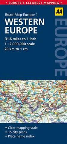
Europe - Western Europe - folded map by AA
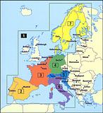
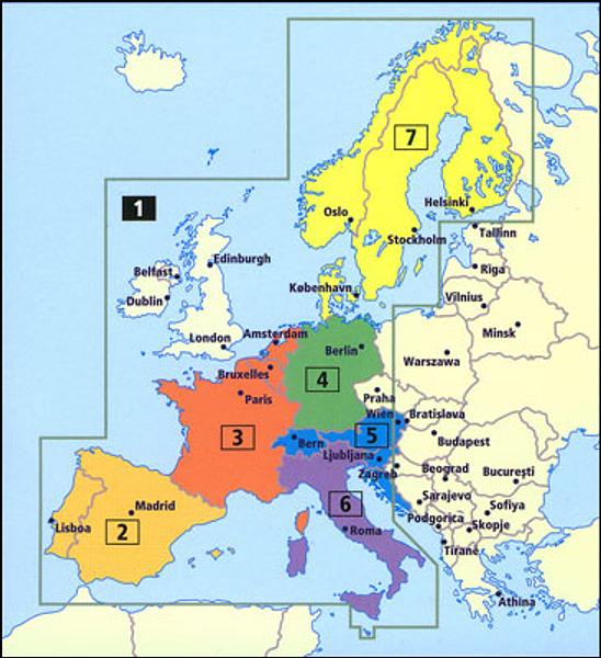
Western Europe on a very clear, double-sided indexed touring map from the AA at 1:2,000,000, prominently highlighting locations worth visiting, plus town centre street plans of 15 main cities. The Continent is divided so that UK and Ireland are shown on one side with the Netherlands, northern Germany and the whole of Scandinavia; on the reverse is Europe south of the Channel ports and the Ruhr in Germany, extending east to Prague and Ljubljana.
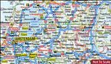
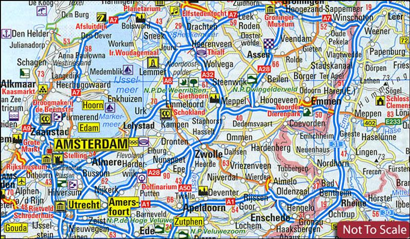
Road network, clear to see on the background with light shading for mountainous areas, emphasises motorways, distinguishing between free and toll routes, and gives driving distance on main routes. Railway lines are included (if not always easy to see) and car ferry connections are marked. The map prominently highlights names of towns worth visiting and symbols indicate other places of interest. Numerous national and natural parks are also highlighted. The map has no geographical coordinates but includes an index.
Surrounding panels provide city centre street plans of Amsterdam, Berlin, Bern, Brussels, Budapest, Copenhagen, Dublin, Helsinki, Lisbon, London, Luxembourg City, Madrid, Oslo, Paris, Rome and Stockholm.
Fully updated, this map combines clear design and an easy-to-read scale with more road detail to ensure that you never lose your way. It includes information on toll points, service areas, road numbers, motorways, dual carriageways and wide and narrow local roads. National Parks, ski resorts, visitor attractions and towns and places of interest are also highlighted. The map is presented in a practical slimline format, with a durable weatherproof cover for protection from the elements.
This item is out of stock
We hope to have more stock in very soon. If you have any questions about this product, please contact us.

Connect with us...